

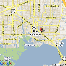
Address Map
Country:
US
State:
FL
City:
Port Charlotte
Longitude:
W83° 54' 33.7''
Latitude:
N26° 58' 34.2''